|
Main menu --- |
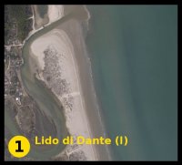
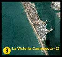
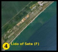
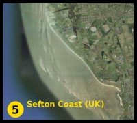
The MICORE Project ResultsOctober 2011 Recent extreme hydrometeorological events in coastal areas have highlighted the devastating effects that can occur from hazards of marine origin. The experiences of Hurricane Katrina that struck the city of New Orleans as well as the two massive tsunamis in the Indian Ocean and Japan tragically demonstrate what can go wrong when engineering design is subjected to forcing beyond its design limits and civil evacuation and management plans fail. Click on the pictures below to visit the relative local Warning System.
The 1953 storm surge event in the North Sea that resulted in over 2000 deaths and extensive flooding across The Netherlands, England, Belgium and Scotland is a pertinent reminder that Europe is not immune to coastal threats. With approximately 185 000 km of coastline, Europe encompasses a diverse range of coastal environments, including pristine natural habitats, large coastal cities protected by offshore structures, low-lying sandy dune fields, steep rocky cliffs, exposed oceanic coastlines and enclosed sea basins. Each coastal type presents itself with a unique set of issues for coastal managers to deal with.
Due to economic constraints it is simply not possible to design, fund and build engineering schemes to protect vulnerable coastal areas across Europe from every extreme event foreseeable. Indeed in a rapidly-changing global climate there is a considerable degree of uncertainty as to how extreme events will behave in the future, particularly with regards to the intensity, magnitude and duration of coastal storms.
Hence there is a pressing need to develop new coastal management systems; ones that can accommodate this uncertainty and minimise the impacts of extreme conditions that fall outside the design limits of both current and future coastal structures.
In this context, the ability to predict the imminent arrival of coastal threats is a valuable tool for civil protection agencies in order to prepare themselves and, if need be, execute the appropriate hazard-reduction measures. Developments in climate modelling have resulted in coastal storm predictions of a level of sophistication to know quite precisely their timing, intensity and other important storm variables up to approximately three days in advance.
Building on from this is a way of knowing and communicating in real-time how these storm forcing predictions translate to morphological impacts and risk scenarios in the coastal zone. The work undertaken throughout the MICORE project has been performed to make significant advancements in this area.
The MICORE project (Morphological Impacts and COastal Risks induced by Extreme storm events) was a European initiative comprising 16 different research, commercial and government institutions across nine countries. The overall aims of the project were to set-up and demonstrate an online Early Warning System (EWS) for the reliable prediction of morphological impacts due to marine storm events in support of civil protection mitigation strategies.
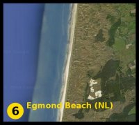
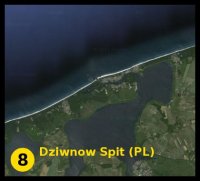
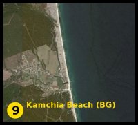
It commenced in June 2008 and had a project duration of 40 months. The project focused on nine case-study sites (corresponding to the nine European countries involved). At all sites a number of individual work phases were conducted in order to reach the end goal of setting up a prototype EWS for coastal storm risk.
These phases included:
The use of these nine unique and morphologically diverse sites made the approach developed as generic as possible and demonstrated the robustness of the methodology. Given that coastal storm predictions are typically provided up to a three-day prediction window, the MICORE project specifically related to short-term emergency response rather than on longer-term strategic objectives. As such it is a clear example of a practice-oriented research programme, providing practical outcomes for coastal management that are useful and applicable to end-users.
The MICORE ProjectBoth the EU and The United Nations are now taking seriously the predicted climate change scenarios of the IPCC. Of particular relevance to Integrated Coastal Zone Management is the predicted increase in the intensity and frequency of powerful storm events characterised by larger peak wind speeds and consequently larger waves.
The MICORE project will provide the knowledge necessary to assess the present day risks and to study the economic and social impact of future severe storm events. The project will also develop operational predictive tools in support of emergency response to storm events. Together, these elements will have an important strategic impact on the safety of the people living in coastal areas. The project will also investigate with stakeholders and end-users the possibilities of producing EU-wide guidelines for a viable and reliable risk mitigation strategy.
MICORE will produce an up-to-date data base for each partner country that will include: an historical review of storms; an inventory of data related to the forcing signals; quantification of the morphological response of coastal systems to storms and to sequences of storms; an assessment of socio-economic impact; a description of existing civil protection schemes and interventions.
MICORE Project is part of:
|


Visits since May 2011: 999